
Portfolio
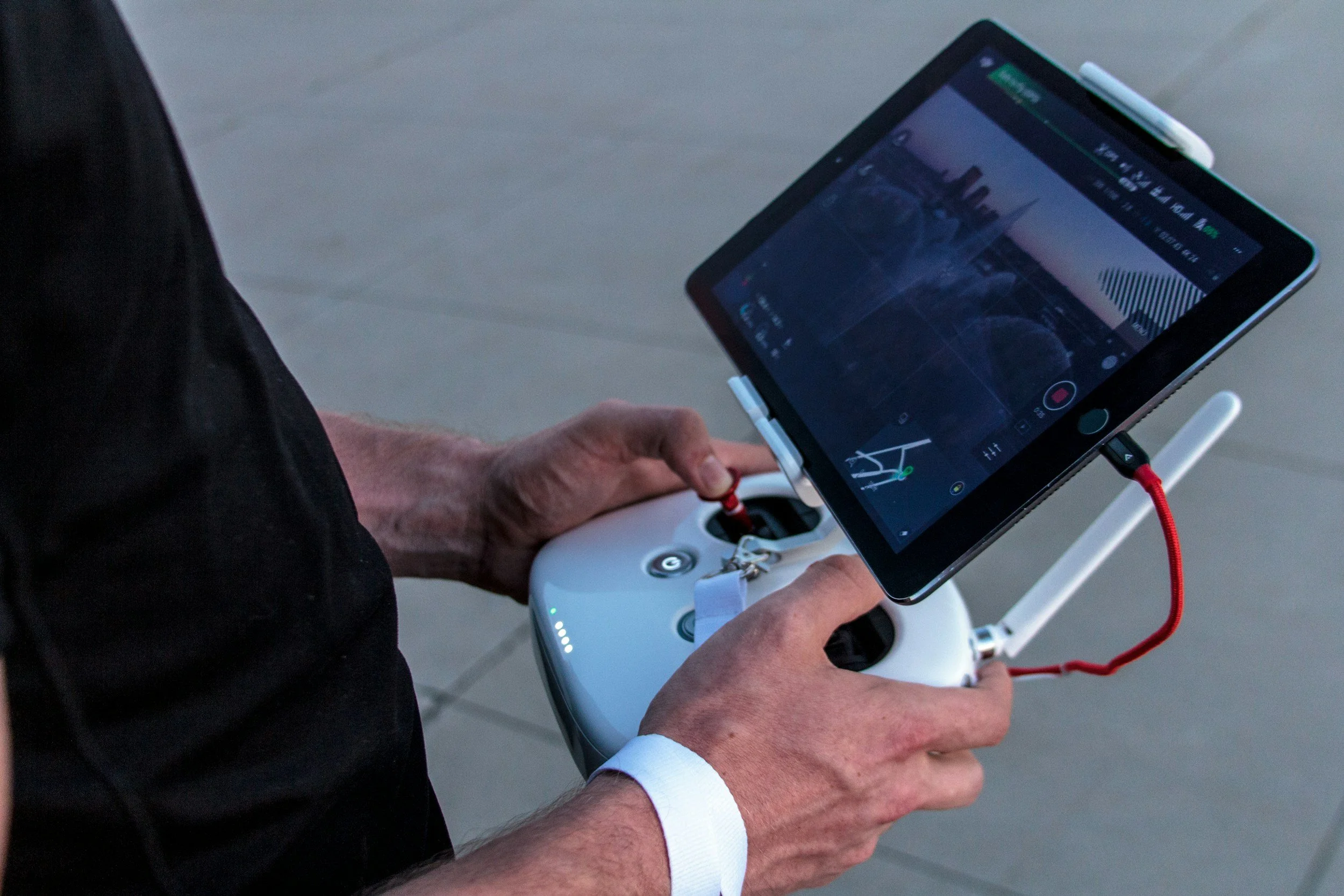
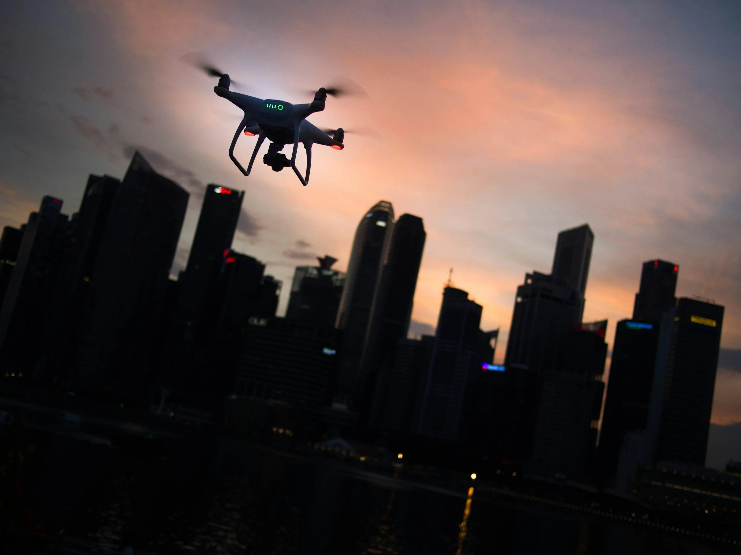
Drone Work That Delivers Clarity, Safety, and Speed
From 60-acre site maps to digital infrastructure audits, our drone services help Colorado’s top builders, engineers, and civic teams make faster, safer, and more informed decisions. Below are just a few examples of how we support construction progress, QA, and site safety across Denver and beyond.
Commercial Construction – Downtown Denver Tower Project
Challenge:
The GC was managing a multi-story mixed-use project with high stakeholder visibility and limited downtown access.
Impact:
Enabled the PM to eliminate on-site photo walks and reduced stakeholder update time by 40%.
Solution:
We delivered weekly high-res progression shots, orthomosaic site maps, and a labeled visual report ready to drop into Procore.
Deliverables:
Bi-weekly construction progression reports (Orthomosaic map, panoramic views and video)
Location:
Denver, CO

Civic Site Mapping – Regional Transportation Hub
Challenge:
City engineers needed an updated site map post-earthwork to verify elevation and grading accuracy before utility trenching.
Impact:
Caught a grading discrepancy before trenching, saving rework and timeline delays.
Solution:
Our RTK-equipped drone produced an orthomosaic and DSM for precise elevation mapping, plus a point cloud model for CAD alignment.
Deliverables:
Orthomosaic (GeoTIFF, KMZ), DSM, DXF overlay
Location:
Aurora, CO

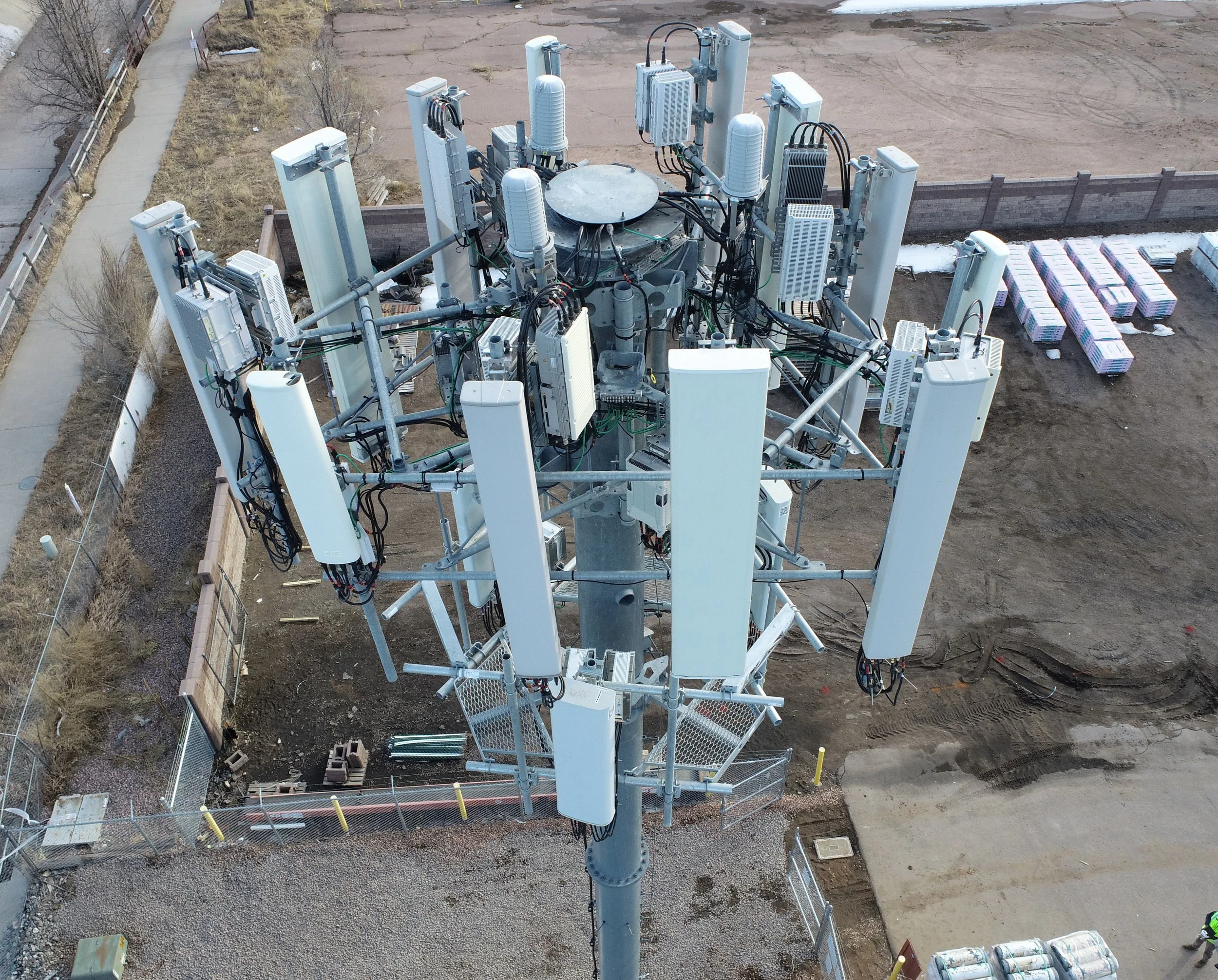
Drone tower scans and compound audits-Telecom Engineering Firm
Challenge:
Telecommunications engineering firm needed drone tower scans and compound audits for various wireless providers and and tower sites owners .
Impact:
Allowed engineers to conduct inspections of tower structures, mounts , antennas and other tower equipment. General surveys for pre and post tower and antennae construction as well as inventory and manage portfolio assets.
Solution:
Black Star Drone Solutions was able to provide drone tower scans and compound audits well within their deadline requirements for the firm as a vendor in the Denver Metropolitan area, as well as Wyoming, Kansas, Nebraska and New Mexico.
Deliverables:
3D Digital models, PDF report, RGB comparison
Location:
Nation wide
Workforce Development – Nonprofit Drone Training Program
Challenge:
A local nonprofit needed to train three technicians to support an internal facilities drone program and comply with FAA requirements.
Impact:
Developing the next generation of safe and professional drone operators prepared for the workforce in the industries of their choice.
Solution:
Attended our 6-week Drone Workforce Training Program learning the history of drones technology, the different types and their applications, software and flight training, preparing them to successfully pass the FAA Part 107 sUAS Commercial Operator license.
Deliverables:
FAA exam prep, SOP templates, in-field training hours
Location:
Denver, CO

Why Clients Trust Black Star

FAA Part 107 certified and insured
01.
Built-for-construction workflows
02.
Visuals formatted for Procore, AutoCAD, GIS
03.
Drone fleet includes latest Anzu and Raptor models
04.
Veteran-owned, Denver-local operator
05.
Now offering certified drone training programs
06.
Not Sure Which Package Fits Your Site?
Want to see how drone visuals could work for your site? We’ll walk you through similar deliverables and scope out the right fit.